
A New Perspective Starts Here
Discover What Aerial Insights Can Do for You
FAA Part 107 Certified
◆
Fully Insured for Commercial Operations
◆
Serving The Mid-Atlantic Region and the Eastern United states
◆
FAA Part 107 Certified ◆ Fully Insured for Commercial Operations ◆ Serving The Mid-Atlantic Region and the Eastern United states ◆

who we are
Mason‑Dixon Drone Services provides precise aerial imaging and clear, actionable data for businesses and communities across the Mid‑Atlantic and Eastern U.S. Whether it’s roof and property inspections, cinematic photo and video, thermal imaging, or detailed mapping and photogrammetry, we give clients a smarter view of their operations. Our FAA‑certified team delivers dependable visuals and insights you can trust.
We don’t sell drone flights — we deliver the site intelligence that helps construction managers, solar developers, and infrastructure owners avoid costly mistakes before they happen.
Service Overview
-
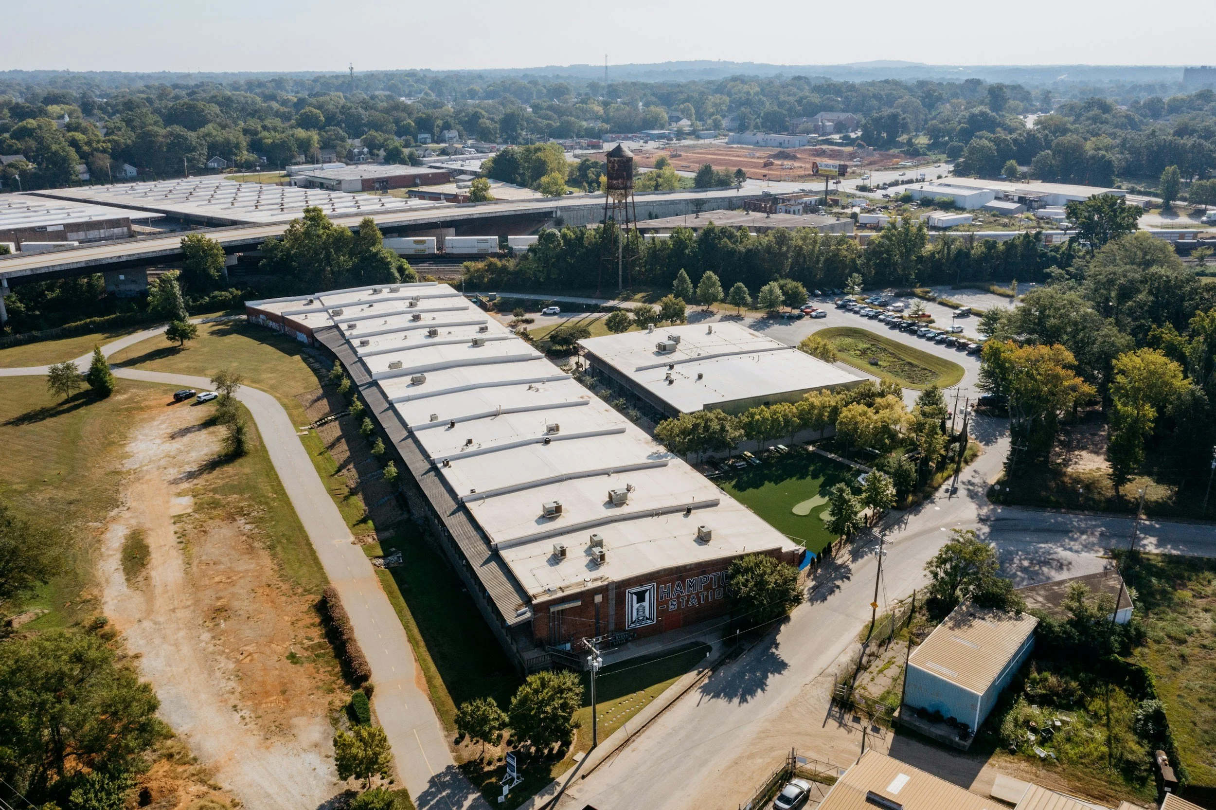
Aerial Photography & Videography
Professional aerial visuals that help clients showcase properties, projects, and locations with clarity and impact.
-
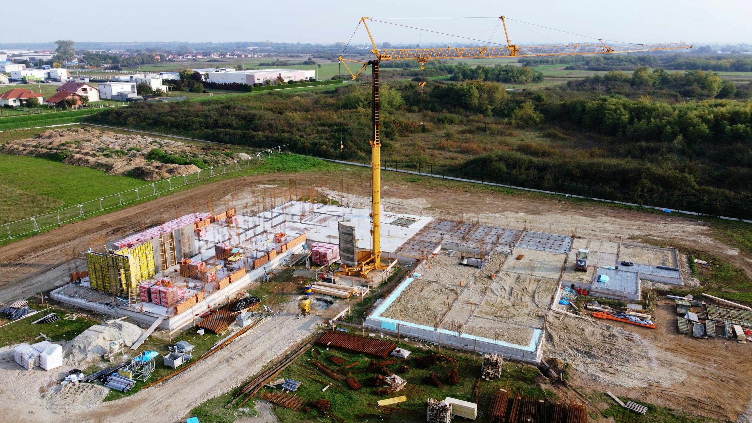
Aerial Construction Services
Reliable progress imagery and site data that keep project managers, contractors, and stakeholders aligned.
-
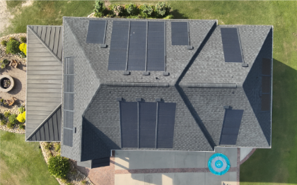
Roof & Property Inspections
Accurate overhead imagery that helps inspectors, adjusters, and property owners identify issues quickly.
-
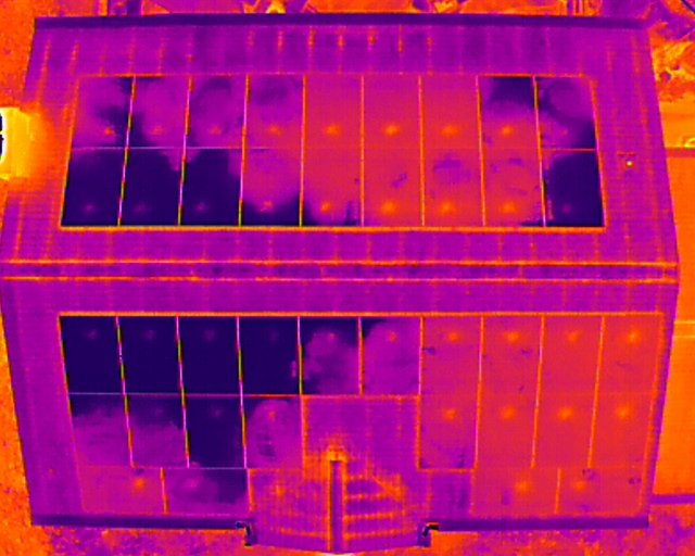
Thermal Services
Actionable thermal data that helps identify heat loss, moisture, electrical hotspots, and structural concerns.
-

Infrastructure & Utility Inspections
Safe, detailed imaging for towers, utilities, and critical assets—reducing climb time and improving documentation.
-

Marketing Support & Content Production
High‑quality aerial content crafted to elevate brand visibility and strengthen digital campaigns.

Our Affiliations




Our Certifications
Get in touch with Mason‑Dixon Drone Services
From aerial imaging to comprehensive inspections and custom project support, we’re here to deliver exactly what you need. Send us a message and we’ll reply quickly with the best options for your job.