Purpose‑Built Aerial Solutions for Modern Industry
Mason‑Dixon Drone Services delivers mission‑ready aerial imaging designed to solve real operational challenges.
We help construction teams build smarter, crews inspect faster, adjusters document accurately, and organizations make decisions with confidence.
Our approach blends technical capability, professional workflows, and a disciplined multi‑drone fleet to produce data that drives results — not just pictures.
If your project demands clarity, accuracy, and repeatability, we provide the aerial perspective that keeps work moving forward.
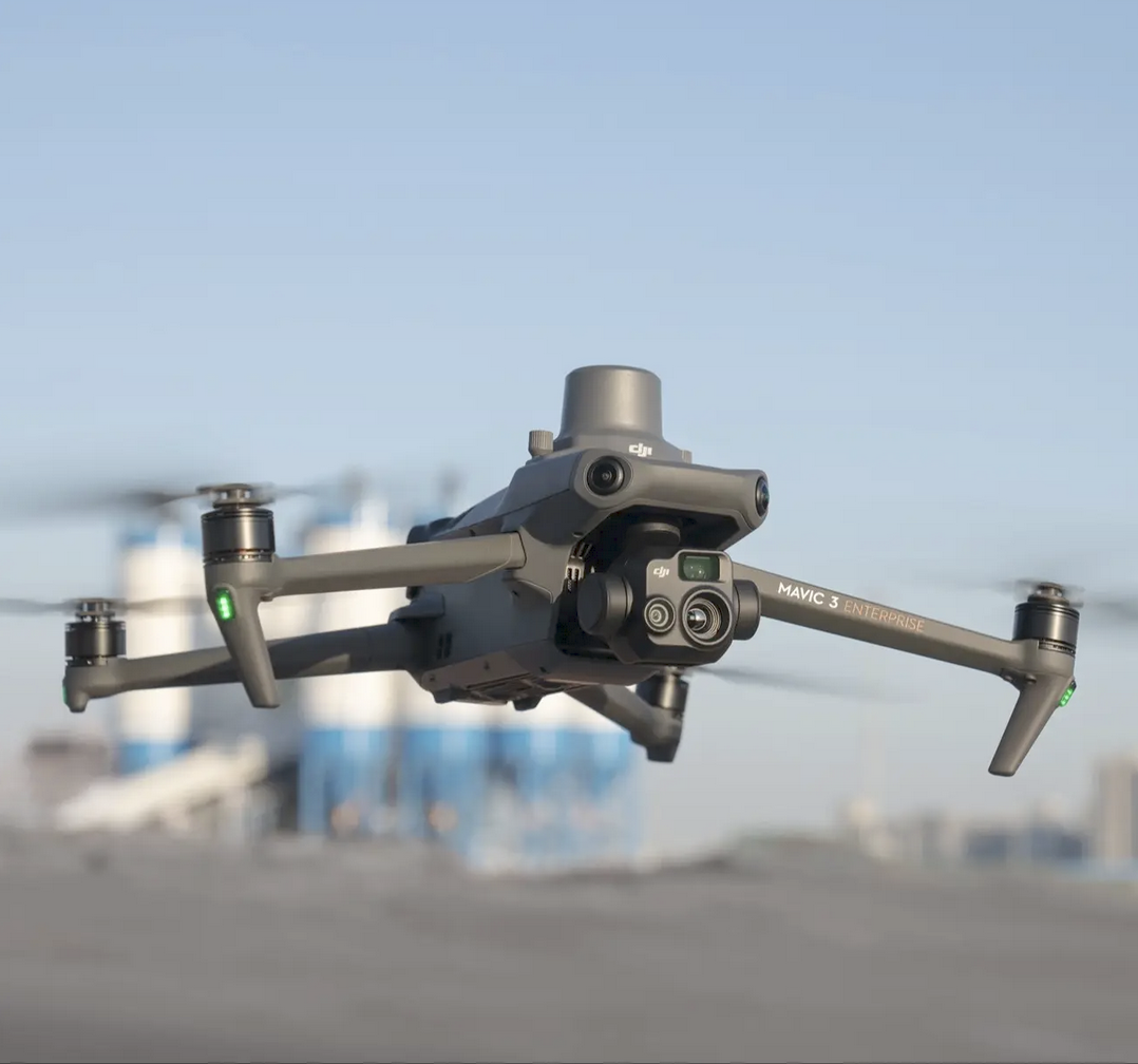
4+ Specialized Certifications
◆
10+ Sectors Supported
◆
Multi‑Drone Operations
4+ Specialized Certifications ◆ 10+ Sectors Supported ◆ Multi‑Drone Operations
We Solve Problems That Ground Teams Can’t See
Clients rely on us when they need:
Faster inspections without climbing, shutdowns, or safety risks
Accurate visual documentation for claims, compliance, and reporting
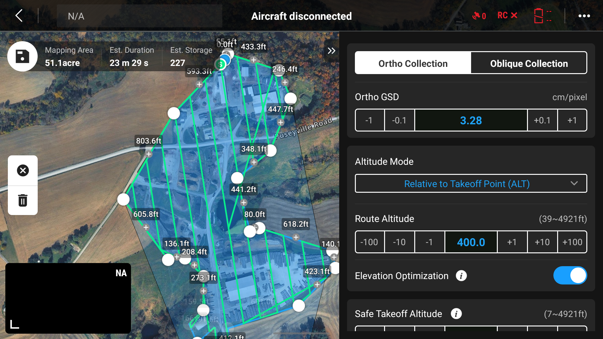
High‑resolution deliverables that replaces guesswork with measurable data
Thermal insights that reveal issues invisible to the naked eye
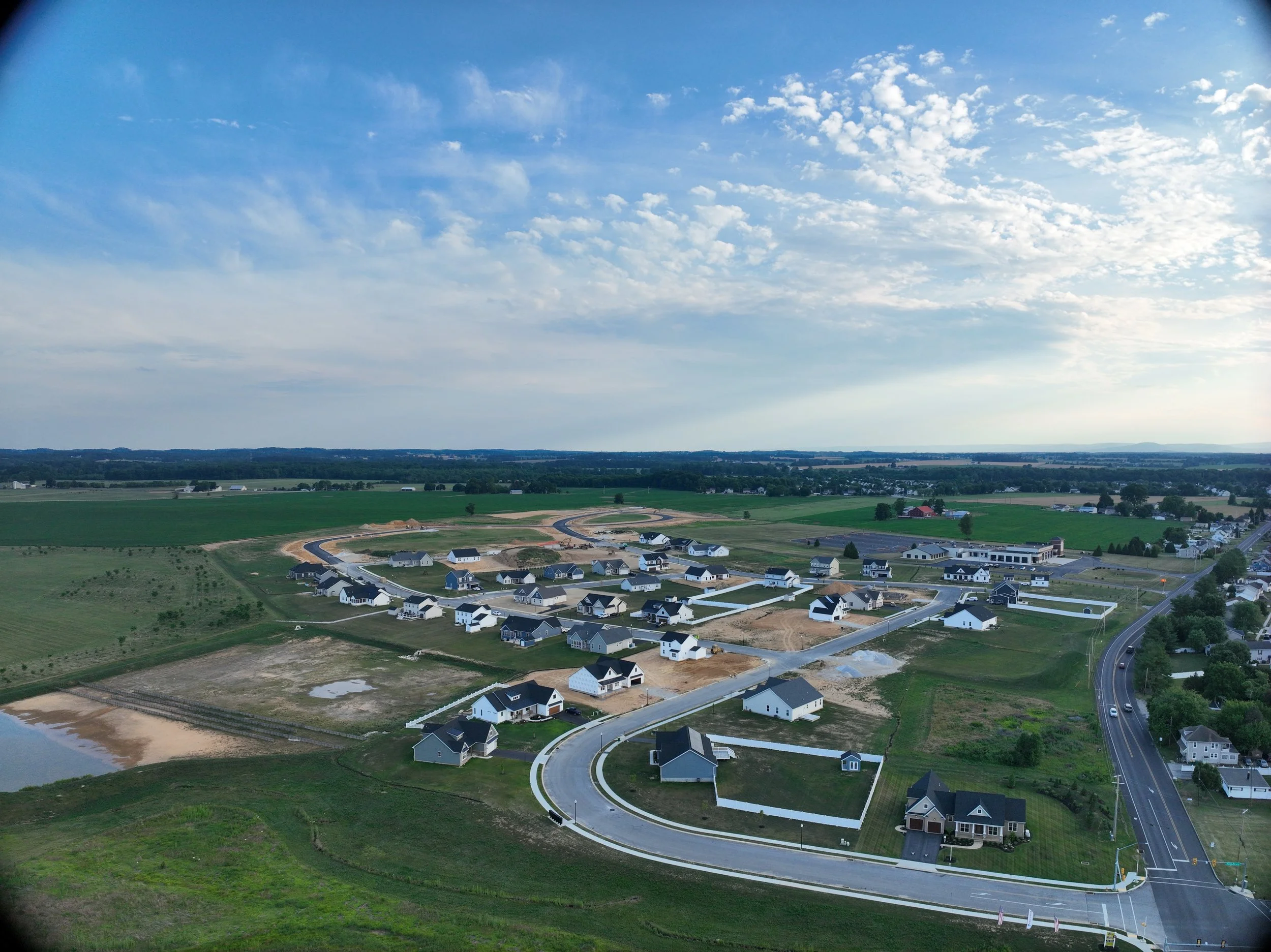
Marketing visuals that elevate brand presence and project visibility
Our capabilities are built to deliver actionable intelligence, not raw footage.
How We Work: Professional, Repeatable, Reliable
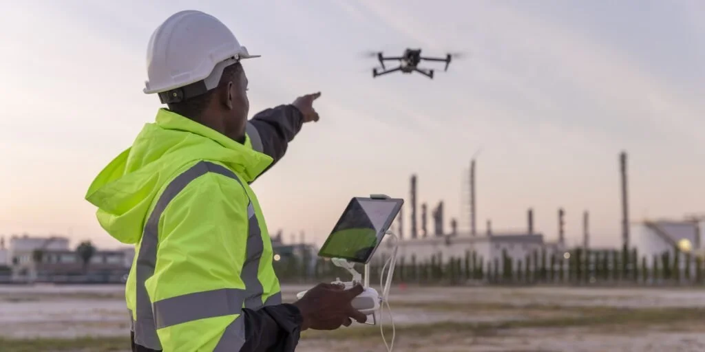
Mason‑Dixon Drone Services is led by Jonathan, an FAA Part 107–certified remote pilot with a strong foundation in safe, disciplined, and professional flight operations. Backed by OSHA 30 and ASTM Level I Thermography Certification, he brings industry‑aligned safety practices and technically accurate thermal imaging to every mission.
Jonathan combines technical skill with a creative eye — delivering sharp inspections, clean data products, and high‑impact marketing visuals that help businesses promote, document, and operate more effectively. With training from Carroll Community College’s Commercial UAS Pilot Program and experience across multiple industries, he approaches every project with precision, reliability, and a commitment to quality.
His mission is simple: provide aerial imagery and data that help clients work smarter, market better, and see their world from a higher perspective.